Elephant Hill
Date: 11th October 2025
Costs : Kes 3000.00/-
Elephant Hill — The Ultimate Hiking Destination
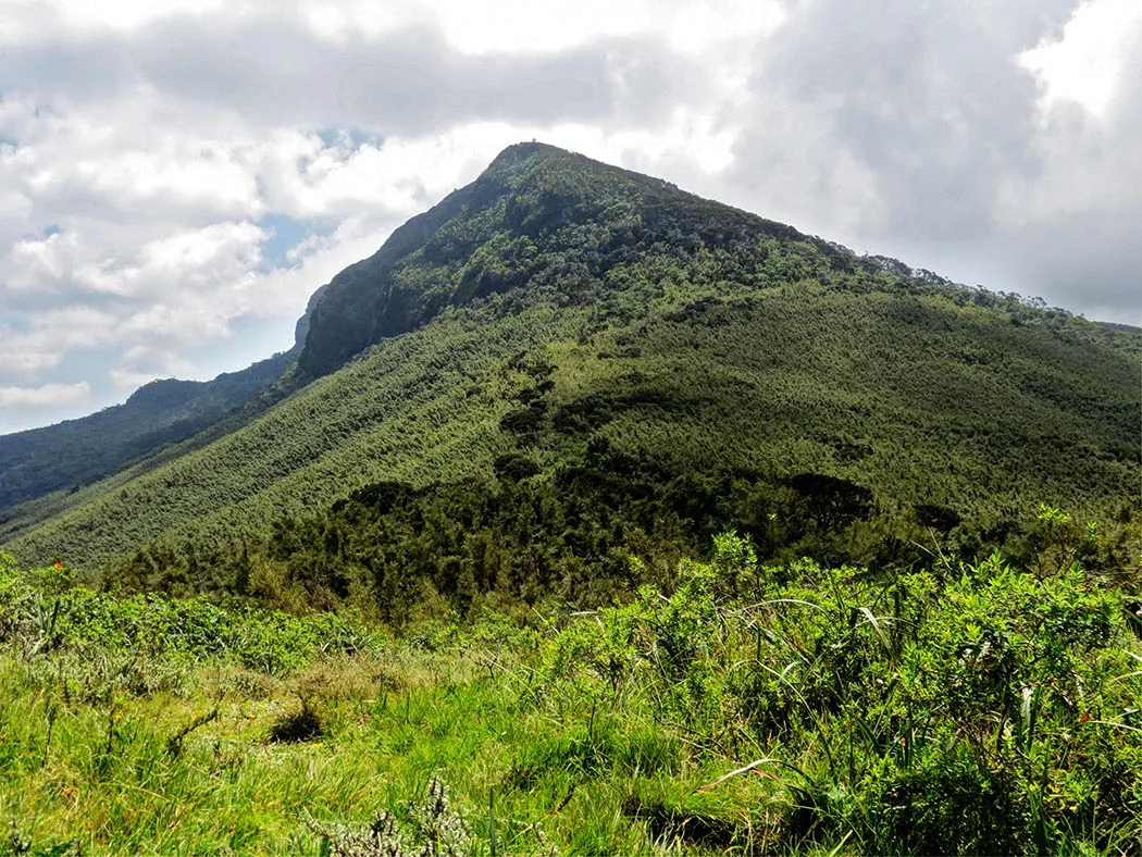
Located about 100km from Nairobi CBD, Elephant Hill is dubbed “the ultimate hiking destination” — and rightfully so. The “hill” presents the perfect challenge to the novice hiker looking to conquer a tougher terrain and acclimatize to higher altitudes. The 9km Elephant Hill hike trail starts at the Njabini Forest Station gate, at an elevation of 8,202ft (2,500m) above sea level and ends at the summit, at an elevation of 12,000ft (3,658m) above sea level. The entire hike up and down takes 7-10 hours, hiking at a moderate pace.
Trail
🥾 🪵 🌲 🍃 ⛰ ✨ 🌾 🍄
The first 3km stretch features a moderately paved path, cutting through a planted forest, with the occasional flock of sheep and a few cattle revealing evidence of human encroachment. At the end of this path is the official starting point at an **elevation of ** 9,192ft (2,802m) above sea level.
Bamboo Gate
A further 1.5km trek on the Elephant Hill Hike gives way to the Bamboo Gate (9,622ft/2,933m above sea level), welcoming you into the narrow, muddy trail of the bamboo zone. The towering bamboo canopy ensures the trail remains annoyingly wet, slippery, and poorly lit. It is important to be adequately prepared for slips and falls, so wearing a comfortable, waterproof, well-treaded hiking boot is a good idea.
The occasional mound of elephant dung and fresh footprints constantly remind you that you are walking through a wildlife zone. No need to worry though wild animals naturally keep off the trail, and anyway, you will always be accompanied by an armed guard.
🏔️🧗⛏⛰️🗻🚠🏕️🥾🎿
The never-ending bamboo forest
The bamboo zone suddenly gives way to the lush moorland at an elevation of 10,679ft (3,255m) above sea level. Most hikers give up at this point, hence its uncanny name — A Point of Despair. The trail becomes tougher and tougher as you transition from the moorland to the rocky zone, which features scattered shrubs and giant lobelia. Caution is advised while trudging through this terrain, as even a minor fall could cause serious injuries.
The Summit
The Elephant Hill summit stands tall and mighty ahead of you when you get to The Tail (11,526ft/3,513m above sea level). The rest of the trail to the summit is extremely steep — and equally satisfying when you conquer it. With good weather, you just might catch a glimpse of the ruins at a recent airplane crash site.
Breathtaking Views

The summit gives you an unforgettable 360° view of the scenic surroundings, including
the inviting Kinangop peak — the second highest peak of the Aberdares — to the
North; the nearby Sasumua Dam; and the famous Ndakaini Dam at a distance.

