

Mount Kinangop
Date: 12th July 2025
Costs : Kes 3000.00/-
Experience this 24.3-km out-and-back trail near Gathara, Nyandarua. Generally considered a challenging route, it takes an average of 8 h 49 min to complete. This trail is great for hiking, and it's unlikely you'll encounter many other people while exploring.
🥾 🪵 🌲 🍃 ⛰ ✨ 🌾 🍄
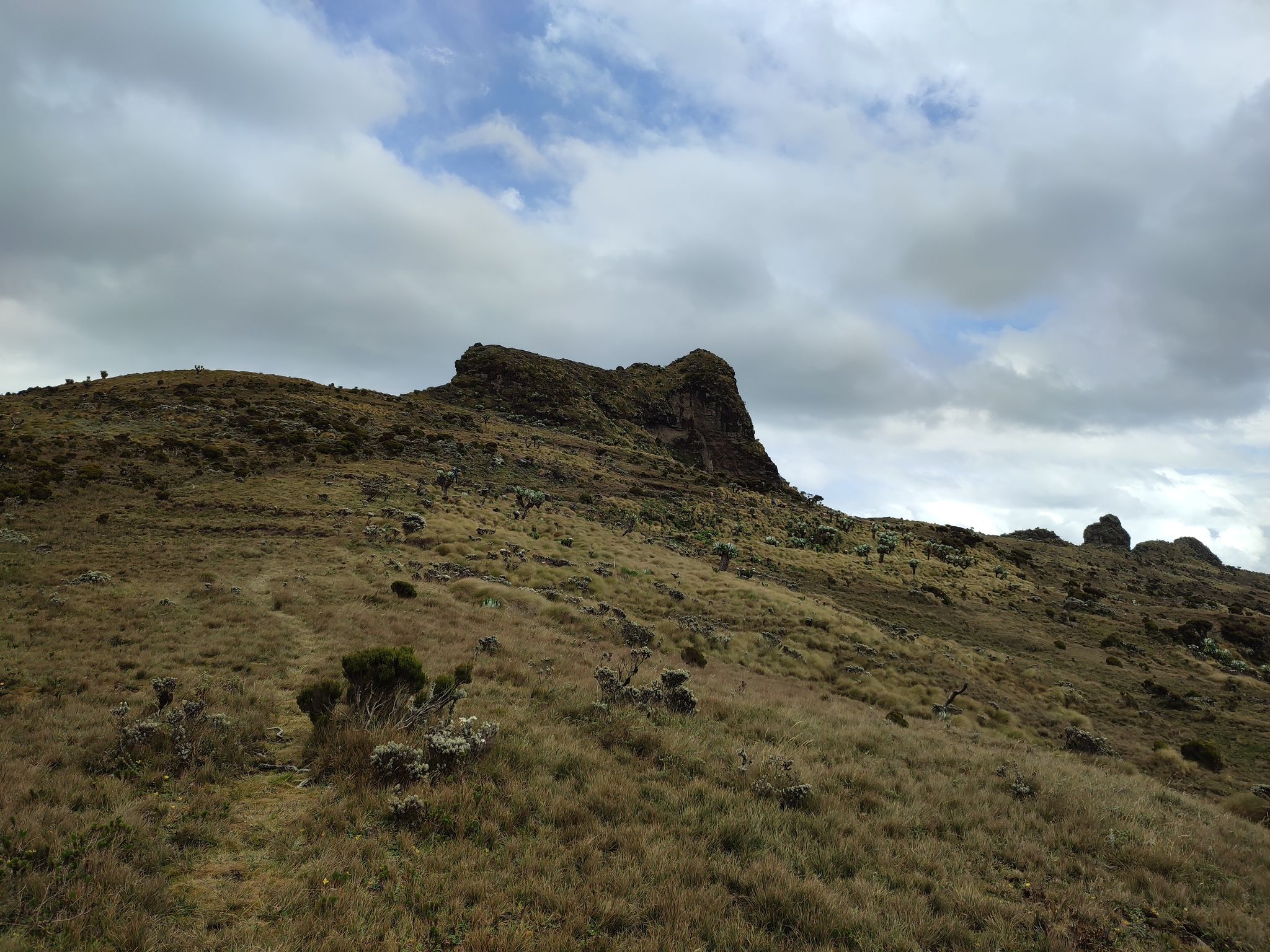
Mt Kinangop is the second-highest peak in the Aberdares. On a clear day, you can see nearby Elephant hill, and possibly as far as Mt. Longonot and Lake Naivasha. Like most other trails in the Aberdares, the trail ascends through the various vegetation zones, including forest, bamboo, montane humid forest and the moorland zone of the Aberdares plateau.
North Kinangop Forest
The trail starts at the North Kinangop Forest Station at Mutarakwa. From here, the first 2 km (1.3miles) run through relatively flat forest and farmland, before one enters the protected forest through a gate on your righthand side. The next 6km (3.5 mile) ascends up the central Aberdares ridge, through the various vegetation zones.
Aberdare Ridge
This part of the trail can be muddy (especially after rains) and is also the habitat of occasional buffalos and elephants, whose footprints or droppings may be encountered along the trail. In parts, the trail can be a bit overgrown, but there are trailblazers to guide your way. Once on the Aberdare ridge, the trail turns South for another 6km (3.5 mile), ascending gently towards Kinangop peak. The final ascent of the peak is steep and can be done through the grassy western approach, or the rocky southern approach. It is possible to traverse onwards to Elephant hill.
Mount Kinangop & Stats
Distance: 24.3km
Maximum Elevation: 3,363m ASL
Maximum Elevation Gain: 1,300m
Duration: 8-10 hours
Ultimately, it is the perfect day out for the nature enthusiast.